


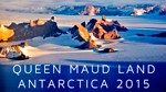
Queen Maud Land Solo Kite Ski

Dec 11
#9: between mountain ranges
Published at 20:31
A perfect day dawned, blue and still. I packed up camp and ground my way up the slope for 2.5 hours to the pass 300m in elevation above camp. I used the climbing wires on the ski bindings, which raise the heel of my boot to effect a flatter stance on steep ground, first the short then the long and eventually changed to crampons. I was smashed by the time I reached the top. The view of new mountains got me back in shape pretty quick.
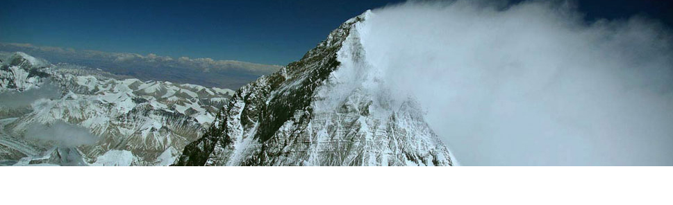
A giant snow basin on the other size, around 30x30km, separated this range from the next and I headed NE towards the northern end, camping after 21km. Tomorrow I hope to reach a colossal mountain (at the extreme left on the landscape photo) sitting sentinel at the end of the range. The sat pic show lots of bare ice in front so it will be crampons for much of the afternoon.
Tent too warm tonight.
- Name: Camp 8
- Elevation: 1664 m
- Latitude: 71° 46’ 14” South
- Longitude: 9° 16’ 14” East
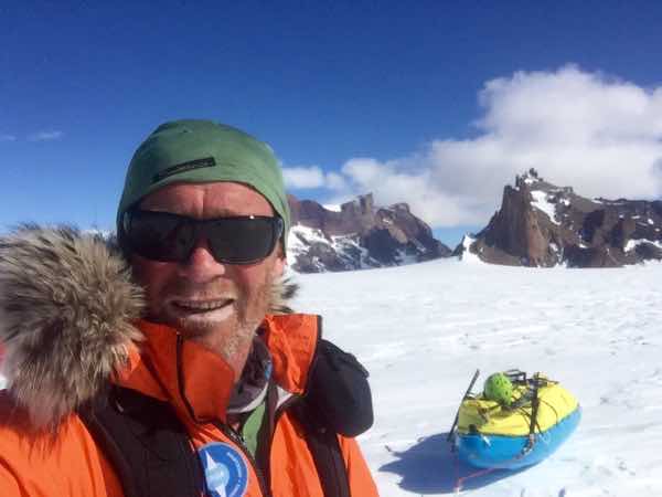
image1

image2
Add Comment


Comments